Geography of Nepal,South Asia
- Travelwithkhungba

- Apr 28, 2020
- 2 min read
Updated: Apr 28, 2020
Himalayan Hills extended from Indus River, Pakisthan to Brhmaputra River, India= 2400km
The Bay of Bengal is the nearest sea from Kakadvitta= 544km where as from Kathmandu its around 1100km
Nepal need 4000km to meet sea through China
Politically Name : Federal Democratic Republic of Nepal
Central State=1
State=7
District=77
Local state=753
Location :
Latitude : 26o22'North-30o27'North
Longitude :80o4'East-88o12'East
0.03% of the total land surface
Length of Nepal: 885KM
Width of Nepal : 193KM
76% High Mountains and Hills including limited area of Valleys, Tars, Besi etc
24 % low level land "Terai and Inner Terai"
Lowest altitude : 60M, Musarniya, Dhanusha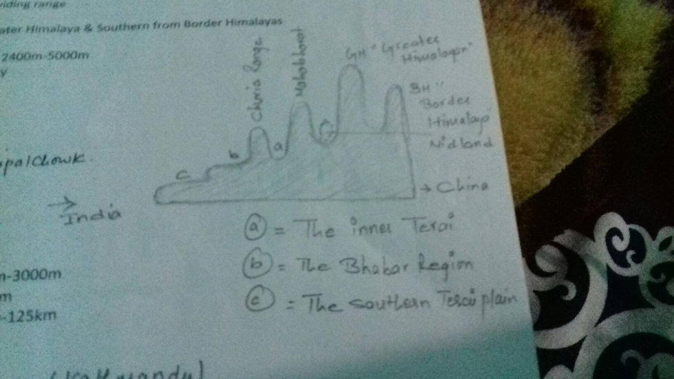
Highest point in Kathmandu
First : Phulchowki-2765m
Second: Shivapuri-2737m
Third : Chadragiri-2561m
Fourth: Nagarkot-2175m
Fifth : Nagarjun-2097m
Sixth : Pokhari thumko-2005m
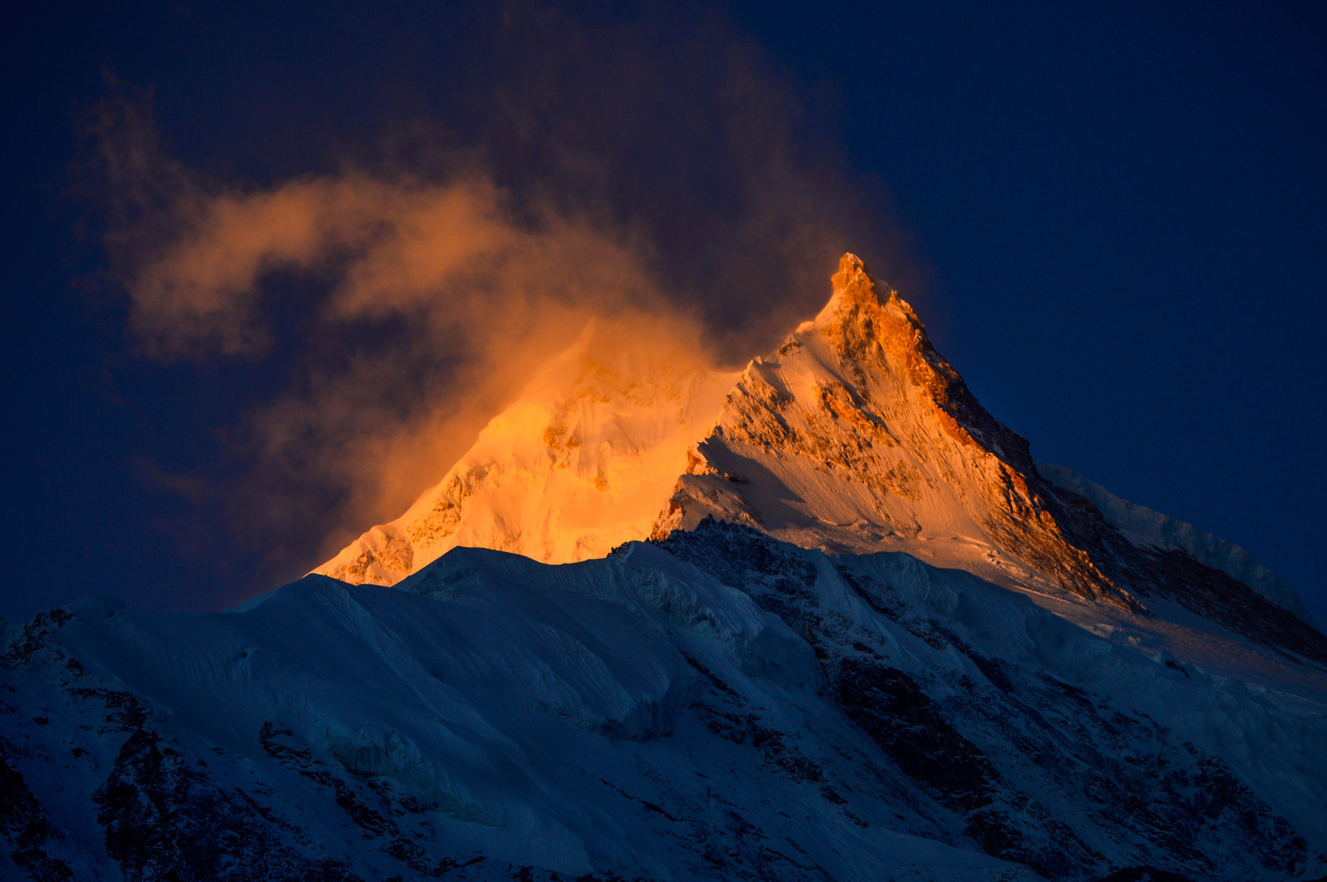
Seventh : Kakani-1982mHIMALAYN REGION
Elevation : 3000m- 8848m
Length : 885km
Width : 24km-50km
Area : 25%of Nepal
Snowing : 5000m above the sea level
Sub division
A. The Greater Himalaya
Above 7000m ||2400km length extended from Indus Valley to Brahmaputra
Extended from Mahakali to Trishuli
Middle border inside Darchula to Gorkha
River cuts greater himalaya aprox 28th places
The Kanchenjunga Himal : Border between Nepal and Sikkhim
Mahalangur Himal : Barun River to Dudhkoshi
Rolwaling Himal : Dudhkoshi to Choba Bamari
Jugal Himal : Bhote koshi to Langtang Himal || Dorje Lakpa, Phurbi Chyachu ||
Langtang Himal : Jugal to Rasuwa Gadhi
Ganesh Himal : Upper Basin of Budhi Gandaki
Gorkha Himal : Budhi Gandaki to Marysangdi
Annapurna Himal : Marysangdi to Kali Gandaki || Annapurna I, II, III, IV, Fishtail,||
Dhaulagiri Himal : Kali Gandaki to Thuli Bheri
Kanjiroba Himal : Thuli Bheri to Karnali
Saipal Himal : Karnali to Seti
Byar Rishi Himal : Seti- MahakaliB. The Border Trans Himalaya
Elevation between 5000m to 7000m
Desert type Topography
Extended from Karnali, Humla, east to Karnali west
Border between China and Nepal
Nickname : Damodar, Thapar, Peri, Larke etc.
C. Inner Himalaya
Northern from greater Himalaya and southern from Border Himalayas
Mid Himalaya
Elevation : 2400m to 5000m
D. Passes
Tipta La-5095m
Popti-4425m-Humla
Kodari-1677m-Sindupalchowk
Rasuwagadi-1825m
Tinkar/ Darchula-4258m
2. Hilly Region
A. The Midland
a. Valleys
Area : 668 Sq. Km of Kathmandu
Pokhara : 800-900m
Kathmandu : 1350m
Maximum Elevation : Fhulchowki-2765m
b. Tars " Plateau "
Dhading to Salyantar is the biggest plateauB. The Mahabharat Range (1500M-3000M)
C. The Churia Range or Outer Himalaya "600m-1800m"
3. Terai Region
Inner Terai : 7%-110-665M
Bhabar Region :4%-300-391M
The southern Terai : 13%-60-200M
Comments